Editing Data
Two tools allow you to create, modify or delete elements on an editable layer. The JMap's Edition extension allows you to create new elements directly in cartographic interface, modify or delete them. The Element Explorer allows you modify attribut values of existing elements or delete existing elements.
Editing Elements in Edition Extension
The JMap administrator included this extension in the JMap Pro application. If this extension is not available, contact your JMap administrator. The the user manual provides more details about his fonctions. If the edition tools are not visible, you can display them by selecting Edition in the View menu.

Edition extension graphical user interface
1 |
Select the type of geometry you wish to create. Your selection must not be incompatible with the type of your personal layer (ex. you cannot create polygons on a layer of points). |
2 |
Select the layer on which you wish to create elements. If several editable layers have been added to the project (including personal layers), they will all appear in this list. Note: The layer named Annotations is not a personal layer. It is a generic layer on which you can draw freely but it does not allow you to define attributes. |
3 |
When you bring changes (add, modify, delete) to a personal layer, JMap stores the transactions that should be saved. Press Press |
4 |
All editing operations can be canceled individually if they have not been saved. You can also restore canceled actions by clicking on the Redo arrow. |
When the geometry is created, the attribute entry form displays. Here you can enter attribute values. Some attributes are required. The form can only be closed once all required attributes have been entered.

Example of a form for entering attribute values
The attribute entry form can also be opened by right-clicking on a map element.

Pop-up menu displaying the attribute entry form
Editing Elements in the Element Explorer
Element attribute values can be entered or modified directly in the element explorer of an editable layer. Edit mode must be enabled by pressing ![]() .
.
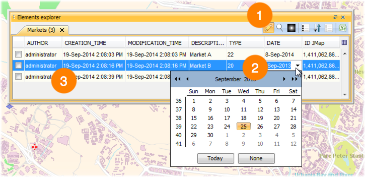
1 |
Press For more information on how to use the element explorer, refer to Element Explorer. |
2 |
Click on a field to enter or modify the attribute value. |
3 |
Some of the attributes that are displayed cannot be edited (Author, Creation Time, Modification Time, ID JMap). These are system attributes and their values are automatically set by JMap. |
Elements can also be deleted directly in the element explorer of an editable layer. Edit mode must be enabled by pressing ![]() .
.
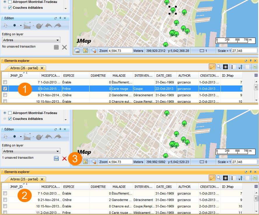
1 |
Select the element you want to delete. Press Delete in your keyboard. |
2 |
The element disappear in the Element Explorer. |
3 |
The transaction have to be saved in the Edition extension. |