Drawing Annotations on the Map
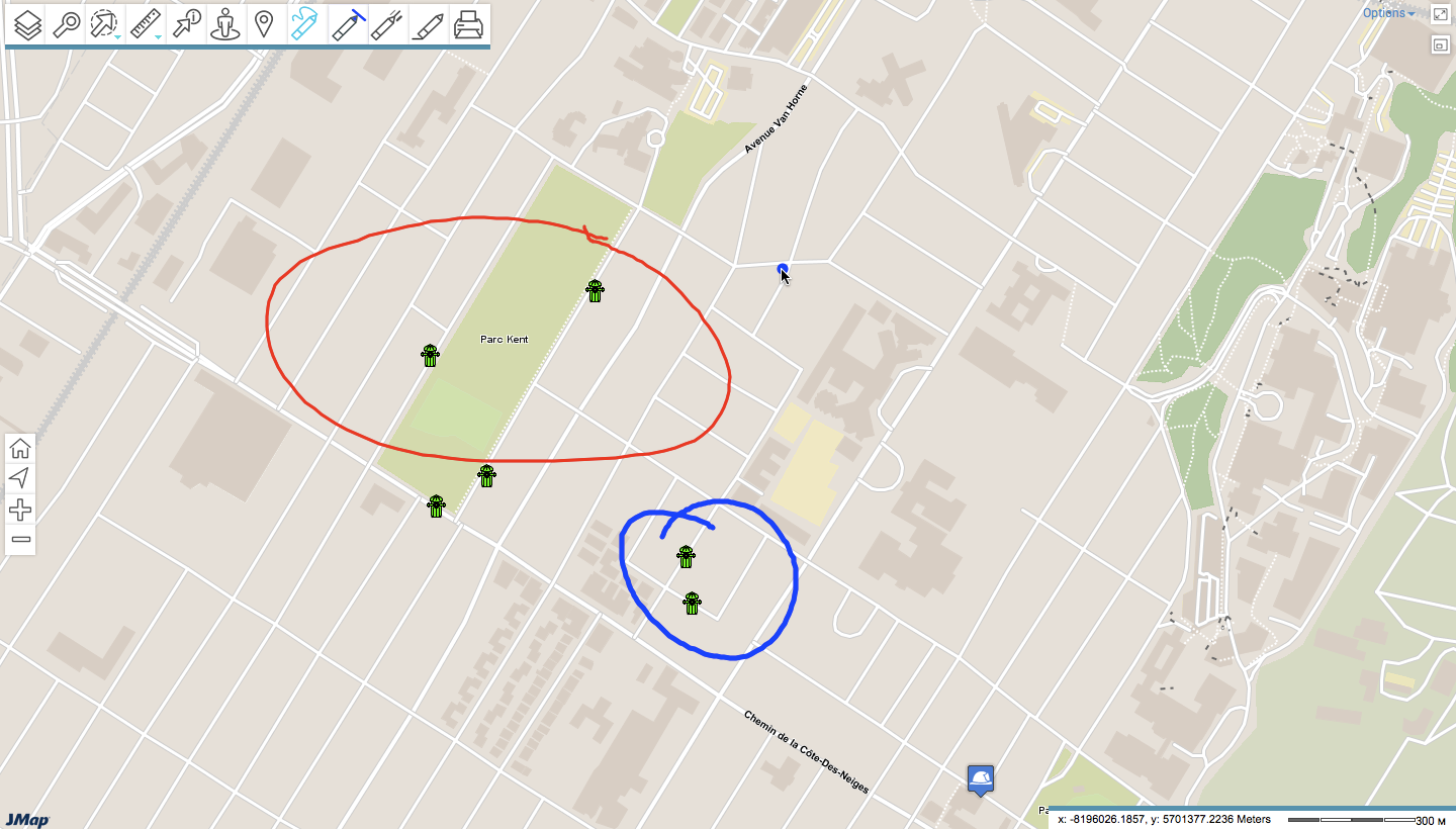
This tool allows you to draw on the map. Your comments can be printed with the map or saved in PDF format. Drawings are integrated to the Annotations layer.
To draw annotations on the map:
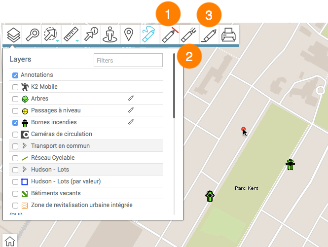
1.Click on ![]() Annotations to enable the tool. The menu opens and the icon turns blue
Annotations to enable the tool. The menu opens and the icon turns blue ![]() . The Layers
. The Layers ![]() menu opens with the Annotations layer selected to be displayed in the map interface when you will draw on the map.
menu opens with the Annotations layer selected to be displayed in the map interface when you will draw on the map.
1 |
Colour palette for the line. |
2 |
Width of the line. |
3 |
Erase annotations. |
2.Specify the colour and the width of the line you wish to draw.
3.Click on a mouse button and drag it to draw your annotations.
4.Click on ![]() to disable the tool. The menu closes and the icon turns grey
to disable the tool. The menu closes and the icon turns grey ![]() .
.
Annotations will remain on the map until the end of the session or until you erase them. You can change the colour and width of the line without disabling the tool.
To hide the annotations, unselect the Annotations layer in the Layers drop-down menu.