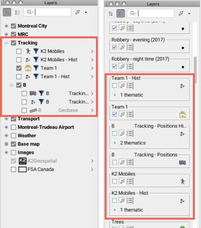
The JMap administrator creates layers for specific types of elements, and these elements represent the mobile objects managed with Tracking. The movement of objects within a given period of time is stored in specific layers of these elements. The administrator also creates layer groups to better organize the information.
In the layer manager, you can access the layers managed by Tracking in Hierarchical mode and in List mode, as with the application's other layers. Therefore, you can move these layers in the list, enable them or disable them.
Layers managed by Tracking are also enabled automatically when you perform one of Tracking's functions.

Layer manager in Hierarchical mode and in List mode
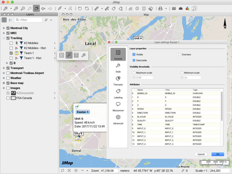
Tracking layers display the same pop-up menu as the other layers, and their settings can be configured by users (display, style, thematics, mouseover bubbles).

Tracking layers can be exported to Mid/Mif, SHP, KML, WKT or GeoJson files using the Exportation extension. They can also be used to elaborate spatial queries or they can be used in attribute selection queries.