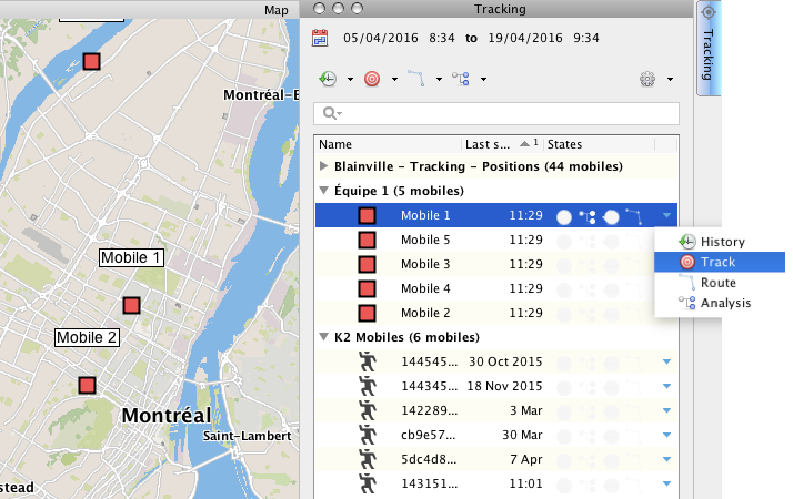
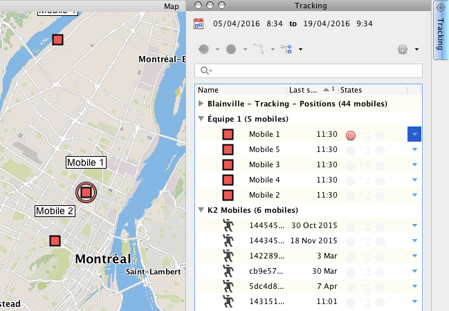
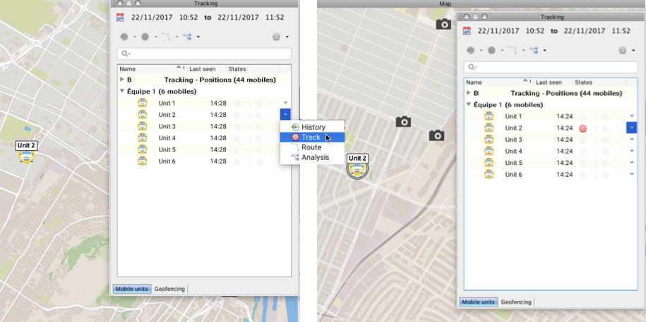
You can track the movement of one or more mobile units, which may belong to the same or to different layers managed by Tracking. These units are identified in the map interface using a circle surrounding the unit's symbol. When the units move, the map is modified to automatically display the zone in which they are located.
Tracking a mobile unit
1.Click on  to open the functions menu of the mobile unit you wish to track.
2.Click on Track  to enable the function. The
  symbol is displayed in the States column, and the mobile unit is surrounded by a circle in the map interface. The interface moves in order to display the tracked mobile unit at all times.


3.Click on Track ![]() again to disable the function.
again to disable the function.
Using this method, you can enable the Track function for several mobile units belonging to the same layer or to different layers, using the functions menu of each unit.
Tracking several mobile units
1.Click on the mobile unit to select it. By pressing and holding down the CTRL key you can select several mobile units. The Tracking window's function buttons are enabled.
2.Click on Track menu  to display the available options.
3.Click on Track selected mobiles. The  symbol displays in the States column of each mobile unit selected, and in the map interface, they are surrounded by a circle. The interface moves in order to display the tracked mobile units at all times.

4.Select the mobile units you no longer want to track.
5.Click on Track  . A menu appears, displaying available options.
6.Click on Stop tracking for selected mobiles. The  symbol displayed in the States column for the selected units will be disabled. In the map interface, the units are no longer surrounded by a circle.