The Graphical Interface
The graphical interface allows you to access all available data and functionality. The interface may be deployed in French, in English or in Spanish, depending on the language parameters selected in the Web browser.
The image below displays the main components of the interface; the details on these elements are provided in the following sections.
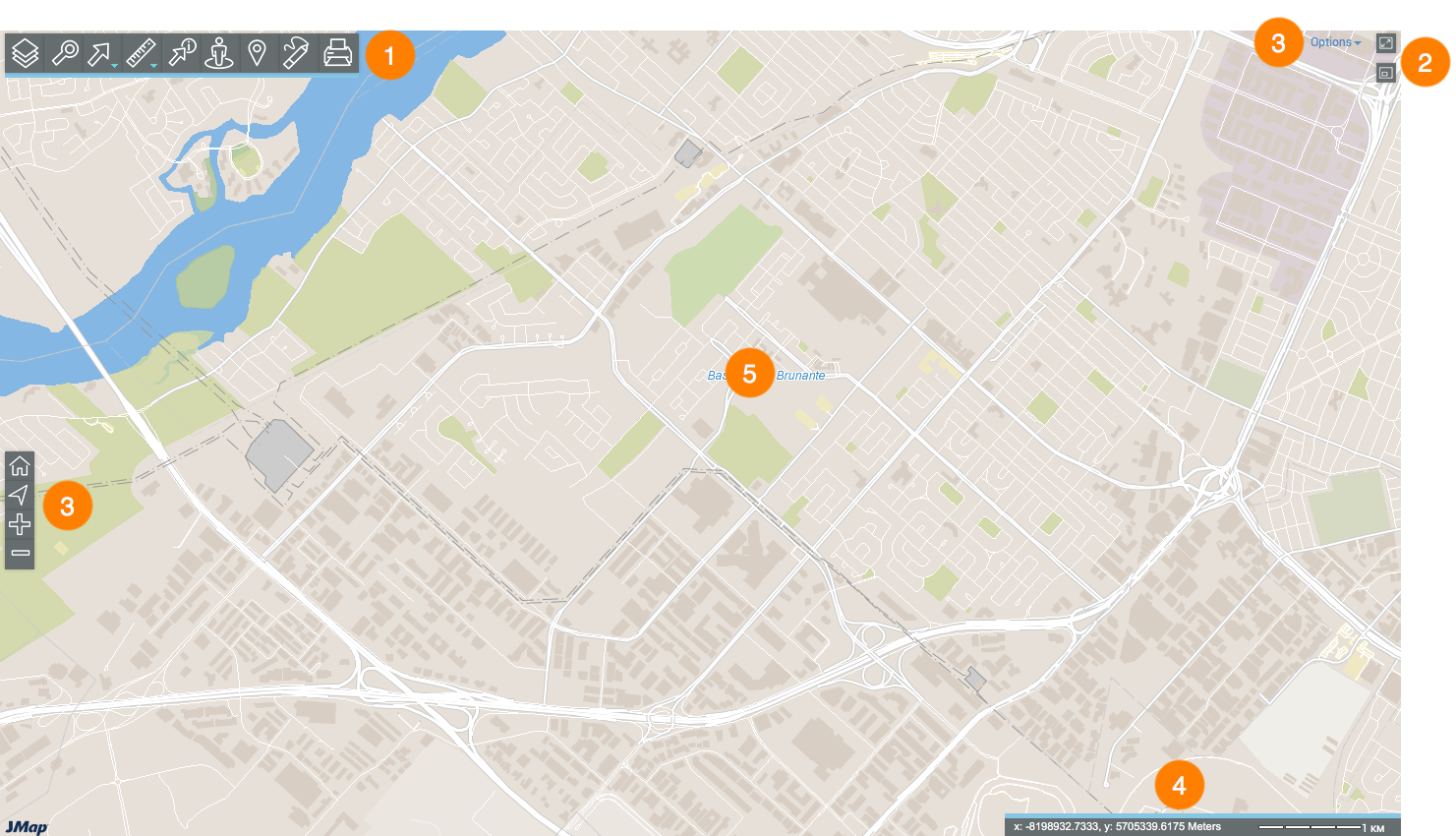
1 |
Toolbar to access specific functionality: |
2 |
Map navigation tools: |
3 |
|
4 |
|
5 |
Map interface. |
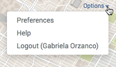
This section allows you to configure preferences for the application's map interface, to access the help and to log out.
1.Click on the blue arrow next to the user to display the drop-down menu.
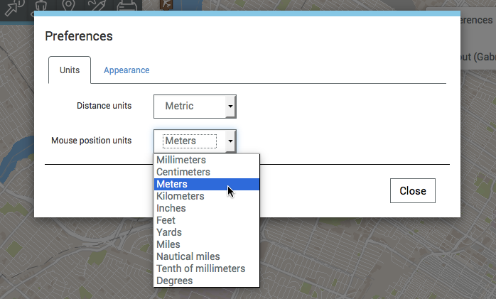
2.Click on Preferences to open a window allowing you to define the application's measurement units and appearance. The window has two tabs: Units and Appearance.
3.Click on Distance units to select the units for the distance and area measurements that will be performed and displayed on the map as well as the graphic scale. Two options are available: Imperial and Metric.
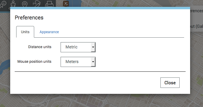
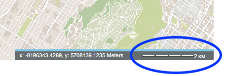
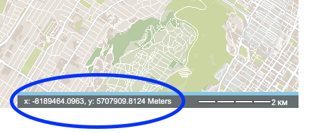
4.Click on Mouse position units to define the mouse pointer's position units displayed in the map interface's geographic information.
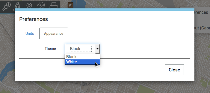
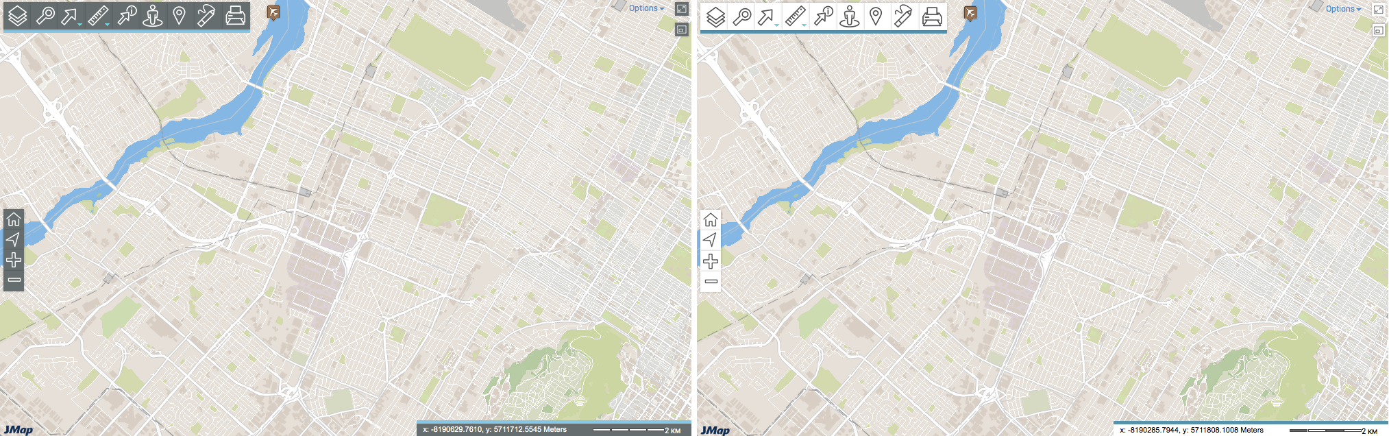
5.Click on Theme in the Appearance tab to change the colour of the application's theme. Two options are available: Black and White.
6.Click on Help to open the user guide.
7.Click on Logout to log out of the application. You will be redirected to the application login interface.
8.Click on Options to close the drop-down menu.