Measuring Distances and Surfaces
Table of contents
The measurement tools allow you to measure distances and surfaces (areas and perimeters). The measurement remains on the map until you make a new measurement. You can print measurements with the map.
To enable one of the measurement tools:
-
Click on
 Distance measurement. The measurement tools’ drop-down menu displays.
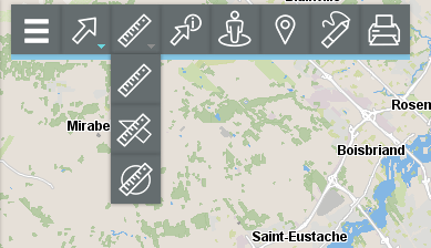
| Measure tools | |
|---|---|
 | Distance measurement Allows you to measure distances between two points at a bird’s eye view. The tool allows you to measure several segments and to obtain the distance for each segment as well as the total distance of all segments combined. |
 | Surface measurement Allows you to measure areas with their perimeters by drawing a polygon on the map. |
 | Circular surface measurement Allows you to measure areas with their perimeters by drawing a circle on the map. |
- Select the tool you wish to use.
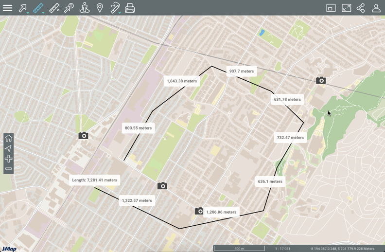
Distance measurement
To measure distances:
-
Click on
Distance measurement in the tools menu to enable the option. In the toolbar, the icon will turn blue, and an icon for erasing measurements appears  .
. -
Click on the map once to start.
-
Click on the map again to complete each segment.
-
Double-click to complete the measurement and display the results. The length of each segment (displayed in the middle of the segment) and the distance of all segments combined (displayed at the end of the last segment, in a larger font) will be displayed. All measurements are indicated in the unit you specified in the Preferences of your session.
-
Click on
to delete the measurements. -
Click on
 to disable the tool. The icon turns grey
  .
.
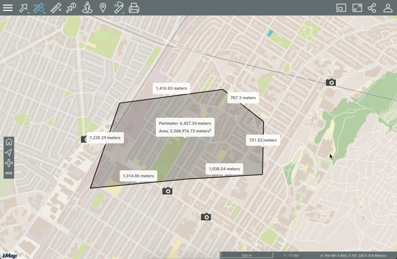
Surface measurement
To measure surfaces by drawing a polygon:
-
Click on
Surface measurement in the measurement tools’ menu to enable the tool. In the toolbar, the icon will turn blue  , and an icon for erasing measurements appears.
 -
Click on the map once to start.
-
Click on the map again to complete each segment.
-
Double-click to close the polygon, complete the measurements and display the results. All measurements are indicated in the unit you specified in the Preferences for the session.
-
Click on
to delete the measurements. -
Click on
to disable the tool. The icon turns grey .
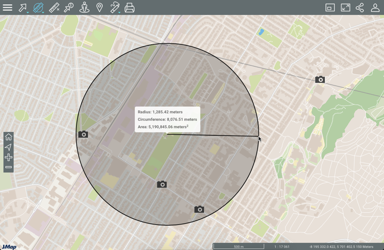
Circular surface measurement
To measure surfaces by drawing a circle:
-
Click on
Circular surface measurement in the measurement tools’ menu to enable the option. In the toolbar, the icon will turn blue  and an icon for erasing measurements appears.
 -
Click on the map once to start, and while holding down the left mouse button, move the pointer to draw the circle’s radius.
-
Release the left mouse button to complete the measurements and display the results. All measurements are indicated in the unit you specified in the Preferences for the session.
-
Click on
to delete the measurements. -
Click on
to disable the tool. The icon will turn grey .